« Observation techniques and analysis methods for water management in Mediterranean agricultural watersheds »
Peyne watershed
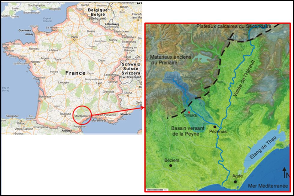
The Peyne watershed (80 km2) is located within the Hérault department, southern Languedoc-Roussillon region in France. It is a watershed mainly dedicated to vine growing.
The relief is characterized by relatively steep slopes. The hydrographic network is significantly branched out, especially in the upstream part from the Roujan village, where tributaries from left and right rim flow into the Peyne River.
The watershed is characterized by a sub-humid Mediterranean climate with a long dry season. Rainfalls range from 600 mm over the downstream part of the catchment to 1200 mm over the upstream part.
The Peyne watershed is a part of the French Hérault department vineyard. Hérault is currently the second largest French wine growing region after Gironde, with 86,100 hectares of vineyards corresponding to 14% of the total area of the department. This sector generates a turnover of 367 MEUR for about 8500 jobs.
In terms of landscape mosaics, the Peyne watershed is characterized by a viticulture-oriented land use and by hydro-agricultural structures with various objectives. When dealing with land use, the upstream part is mainly covered by forest (mainly oaks), and the downstream part is covered with vineyards by 70% (the remaining 30% are mainly cereals). When dealing with hydro-agricultural structures, the steep slopes are terraced, whereas an important ditch network spreads over the watershed to reduce soil losses by erosion. The Olivettes dam in the upstream Vailhan village plays a significant role in flood capping.
In terms of landscape mosaics evolution, we note from the middle of 20th century a gradual abandoning of cultivated lands for the benefit of uncultivated lands. The abandonment of agricultural lands is currently the prevalent process, because of combined effects of rising operating costs and decreasing yields.
 |
|
|
|